Norway's new satellite detects radar signals from ships
The new Norwegian satellite NorSat-3, launched successfully on the 29th of April 2021 and will improve the monitoring of ship traffic from space.
How is it possible to monitor ship traffic – including those vessels that might not wish to be detected? This is a most relevant question for a nation state with over two million square kilometers of marine waters. FFI has therefor developed a technology which in principle makes it possible to detect and follow any ship with its radar turned on.
The Norwegian Coastal Administration collects AIS data from base stations along the Norwegian coast and in addition via the Norwegian microsatellites orbiting the Earth. Thus, the Norwegian Coastal Administration can monitor and control the ship traffic along the coast of Norway and in Norway's extensive ocean areas.
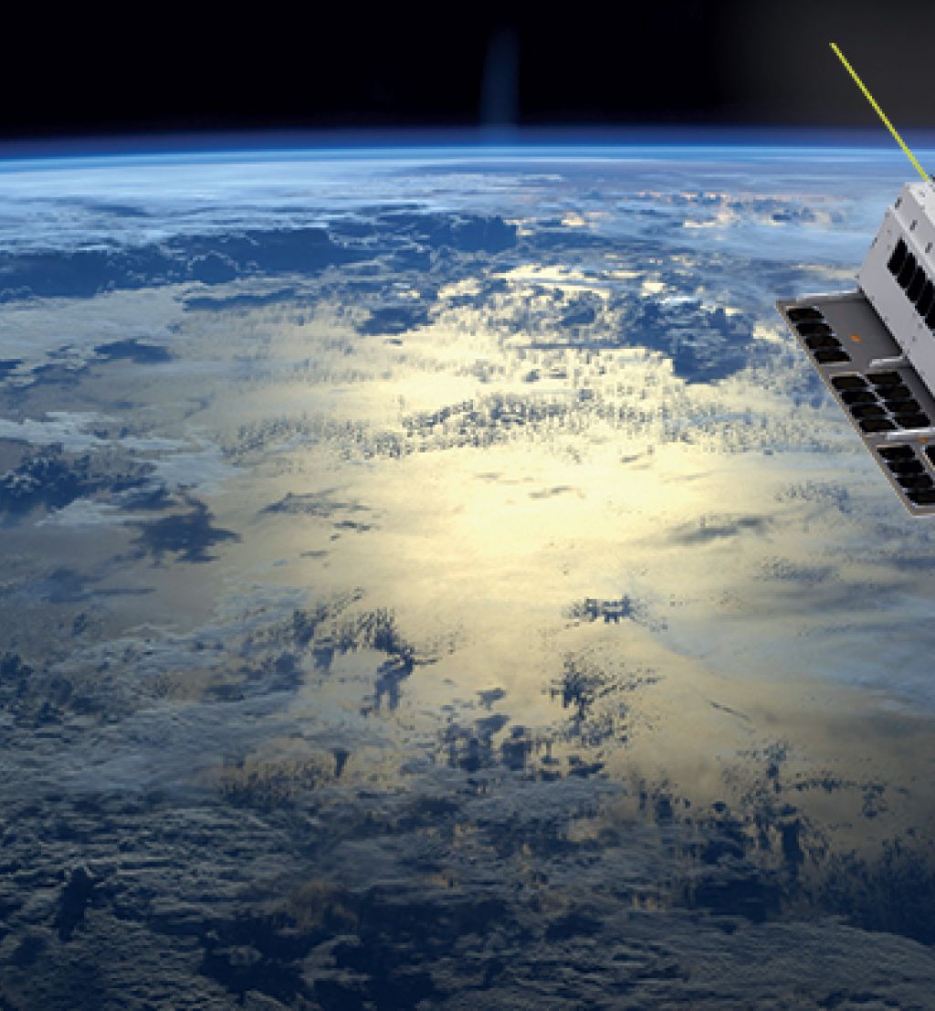
NorSat-3 relays AIS signals from vessels in Norwegian sea areas, at a distance of over 600 kilometers. It is a new microsatellite which, similarly to its predecessors, equipped with an AIS receiver to detect signals from ships at sea.
The new Norwegian satellite launched successfully from the European spaceport in Kourou in French Guyana at 03.50 Central European Time on the 29th of April 2021. The event also marks nearly 60 years of contributions from FFI to space technology.
Challenging development
NorSat-3 is more advanced than its predecessors. In addition to the AIS receiver, it is equipped with an experimental navigation radar detector (NRD). The NRD is primarily a technology demonstrator, but will also contribute to a more comprehensive image of the traffic at sea.
This new payload will detect ships by detecting and locating signals from civilian navigation radars. Thus, the Norwegian Coastal Administration will be able to verify the AIS information and detect ships that are not emitting AIS signals.
The Norwegian Coastal Administration is the owner of NorSat-3, with the Norwegian Space Agency managing the project. The NRD antenna and receiver have been supplied by the FFI and developed in cooperation with Kongsberg Seatex, the French space agency CNES and the German producer Ilfa.
– The development of the NRD instrument has been a challenging task, with contributions from several areas of competency at FFI, says Richard B. Olsen, head of research at FFI.
Olsen adds that the project is part of the development of Norway's national space capabilities according to the long term plans of the Norwegian defense sector.
– An improved situational awareness in the north is an important part of these plans, and the NRD instrument demonstrates technology that is promising for such purposes. The launch of NorSat-3 is an important milestone, and we are now looking forward to collecting data for experimentation, evaluation and future operations together with the Norwegian military, the Norwegian Coastal Administration and the Norwegian Space Agency, Olsen says.
Detecting radar signals
AIS signals alone may not give a complete view of maritime traffic. Military vessels are not obliged to use AIS, and technical errors, interference, signal manipulation and AIS transponders that have been switched off are possible problem areas.
– The Norwegian maritime authorities have never had a more comprehensive view of the ship traffic in Norwegian waters, around Svalbard, and in the rest of the Arctic, including the Northeast Passage, says Arve Dimmen, Director for navigation technology and maritime services at the Norwegian Coastal Administration (NCA).
AIS data is a key tool for the NCA to monitor and control vessel traffic to increase safety at sea. Our AIS satellittes must be replaced regularly in order to maintain this ability in Norwegian waters in the future. All four other NCA microsatellites in orbit have already surpasses their minimum expected lifespan. This is why NorSat-3 is so important, says Mr. Dimmen.
Covering all Norwegian waters
Monitoring maritime traffic has many uses. For example: The Norwegian Coastal Administration's center for maritime traffic in Vardø detects and assists ships that experience engine failure along the coast. The Coastal Administration also spots oil pollution from ships.
The NCA shares their AIS data with all Norwegian authorities holding operative responsibilities at sea.
– Sharing our AIS data creates a larger value for Norway as a whole. We are happy to contribute to this, says Mr. Dimmen.
The Norwegian Joint Rescue Coordination Centres need to quickly identify and locate ships in emergency, and nearby ships that can assist with search and rescue. The Norwegian Fisheries Directorate uses maritime surveillance to control fishing activities and detect ships that are transferring catches at sea.
– Norway has been a pioneer in using small satellites to meet important societal needs, particularly in maritime surveillance, says Lene Marthinsen, project manager for satellites at the Norwegian Space Agency.
– Together with UTIAS that developed the satellite bus, we have aimed for a microspace philosophy, which allows for more cost effective and faster development, includes the extensive use of commercial off-the-shelf components, and a somewhat different test regimen than in traditional satellite programmes, Marthinsen adds.